Lars Schwarz · 23 September 2026
Uncovering Hidden Patterns in Vessel Traffic Data from Lesser-Known Maritime Terminals
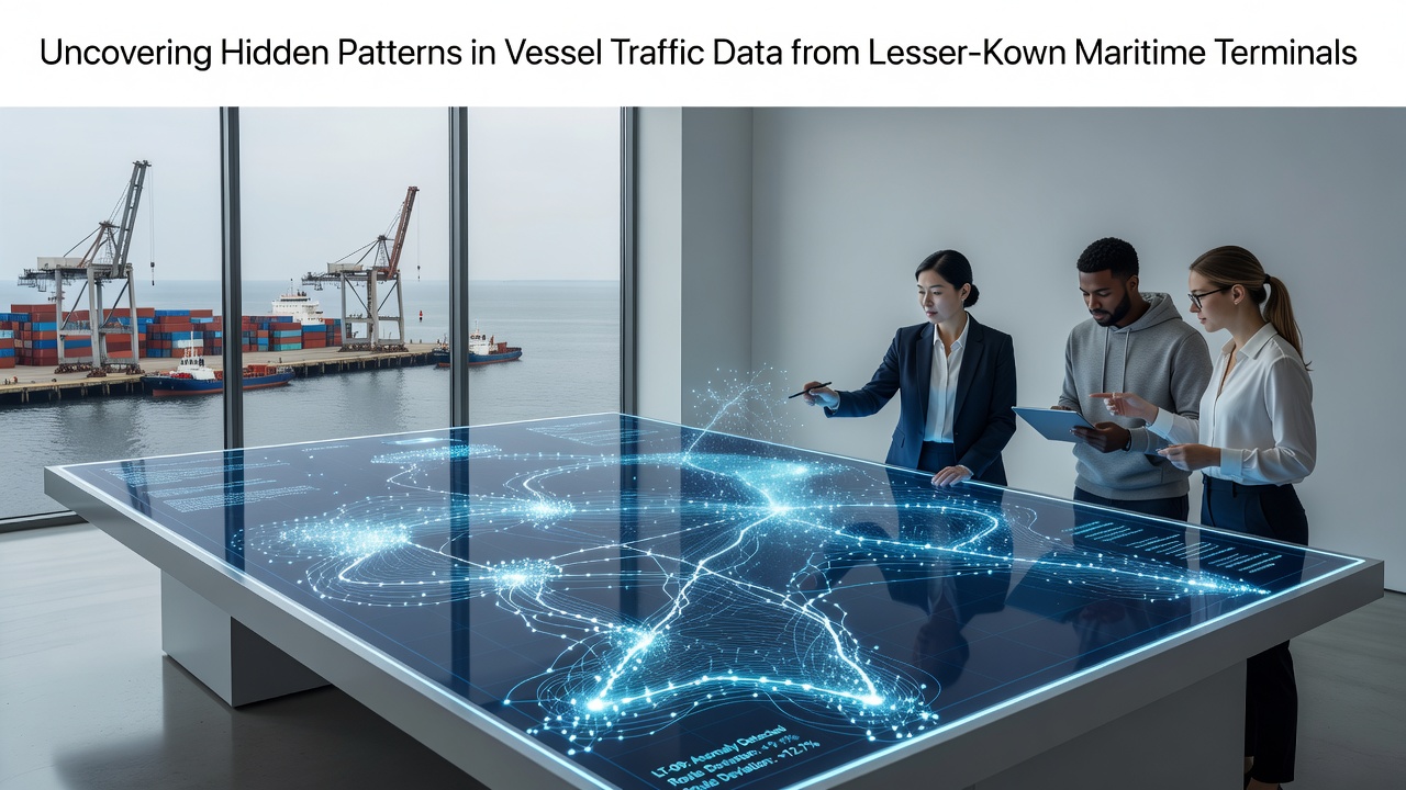
Lesser-known maritime terminals often operate outside major shipping lanes yet generate substantial volumes of vessel movement records that reveal operational rhythms when analysts examine automatic identification system feeds over extended periods. These facilities, scattered across secondary ports in regions such as the Gulf of Guinea, the Baltic periphery, and parts of Southeast Asia, produce datasets that standard global tracking platforms sometimes overlook because of lower signal density and intermittent coverage.
Data Collection Foundations at Secondary Terminals
Automatic identification system transponders transmit vessel position, speed, and identity every few seconds while ships remain within range of coastal receivers or satellites, and researchers aggregate these signals from terminals that handle regional bulk carriers, fishing fleets, and coastal tankers. According to records maintained by the European Maritime Safety Agency, smaller terminals contribute millions of position reports annually even though individual facilities account for less than five percent of total European throughput. Analysts combine terrestrial receiver logs with satellite downlink archives to fill coverage gaps that appear when vessels operate near shorelines with limited infrastructure.
Pattern Identification Techniques
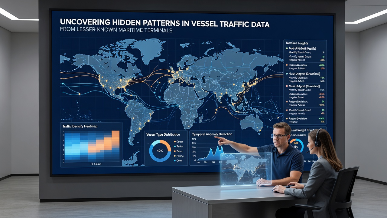
Clustering algorithms applied to timestamped coordinates expose recurring dwell times at anchorages adjacent to lesser-known terminals, while time-series decomposition separates seasonal commodity flows from weather-driven deviations. One study released by the World Maritime University examined twelve months of data from three West African facilities and identified synchronized arrival peaks that align with agricultural harvest cycles rather than standard container schedules. Heat maps generated from speed and heading vectors further highlight unofficial transfer zones where vessels loiter outside designated fairways, patterns that become visible only after filtering out noise from larger, well-documented ports.
Regional Case Examples
Terminals along the northern coast of Australia demonstrate how tidal windows influence departure clustering, with data showing concentrated exits during specific lunar phases that reduce fuel consumption for regional traders. In contrast, facilities in the Canadian Arctic record sparse yet highly predictable traffic tied to icebreaker escort windows, and observers note that these sequences appear only when analysts cross-reference vessel traffic service logs with satellite imagery archives. Such examples illustrate how localized environmental constraints shape movement signatures that differ markedly from those at high-volume hubs.
Integration with Broader Maritime Intelligence
Cross-referencing terminal-specific datasets against global trade statistics from the International Maritime Organization allows analysts to quantify how smaller facilities absorb overflow from congested primary ports during peak seasons. In September 2026, scheduled enhancements to the IMO's data exchange protocols are expected to standardize metadata fields that currently vary across national administrations, thereby improving the accuracy of longitudinal studies focused on secondary terminals. This standardization will enable more precise matching of vessel identities across different receiver networks and reduce the manual reconciliation currently required when datasets originate from multiple jurisdictions.
Challenges in Signal Interpretation
Intermittent satellite coverage over remote terminals creates temporal gaps that can mask brief port calls or distort speed profiles, and researchers compensate by applying interpolation models calibrated against known vessel performance characteristics. Signal interference from coastal topography or dense fishing activity further complicates automated classification, prompting analysts to incorporate manual review stages for edge cases identified by outlier detection routines. These procedural adjustments maintain data integrity while preserving the volume necessary for statistically robust pattern extraction.
Conclusion
Systematic examination of vessel traffic records from lesser-known maritime terminals supplies operational insights that complement those derived from major ports, and the continued refinement of data fusion methods supports increasingly detailed reconstructions of regional maritime activity. As coverage expands and metadata standards converge, analysts gain clearer views of traffic flows that previously remained partially obscured.